There once was a lovely village called Newfoundland, up West Milford/Jefferson way. A landmark of the area was Brown’s Inn, a lovely four-story hotel renowned all over for its hospitality and unrivalled peace and quiet. It stood on what was then the Paterson-Hamburg Turnpike, which we know today as Route 23 South, just across from Green Pond Road. Gone now, of course; that’s the way of old hotels. But the story of the Inn is for another post.
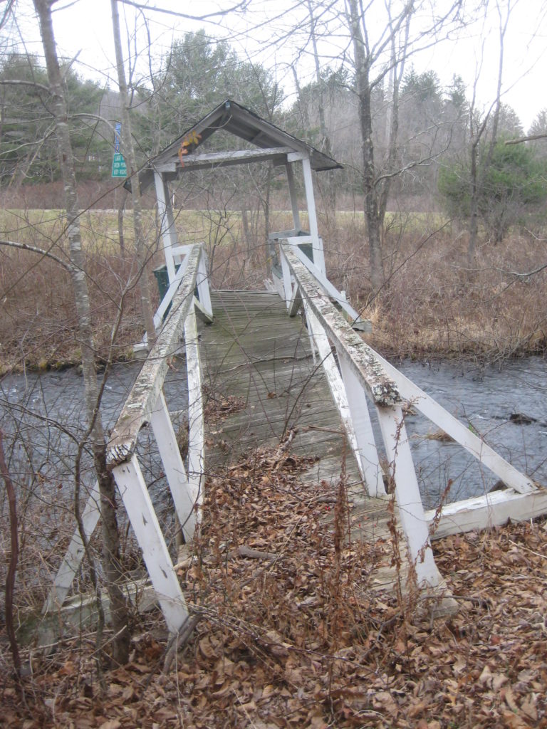
Behind the Inn was a meadow crossed by the quiet Pequannock River. (There wouldn’t be a “northbound 23” until many years later.) Across the river stood the old Brown homestead, a nice little cottage. To get to it you would traipse across a lovely and well-made footbridge. No one can recall just when it was built — my earliest postcard view is from 1909, and it was likely constructed sometime in the 1800s — but it endured for over a century.

Here’s a close-up of the footbridge. Anchored on both sides, the ‘cabin’ was held up by three iron rods anchored to a boulder in the river. If you liked, you could sit in the little cabin and while away some time.

This is a view from one of the upper stories of Brown’s Inn. It shows a peaceful, tranquil, and unpaved meadow with a path from the homestead to the footbridge.

But as idyllic as it all seemed, Brown’s Inn was “a source of annoyance” to the City of Newark. Since the late 1890s, Newark had been buying land in upper Passaic County, and constructing dams and reservoirs, to supply it with fresh, clean water. Brown’s represented a problem to its campaign to prevent pollution from entering in its water supply.
Negotiations dragged on for a decade before a sale was made. Brown’s Inn was purchased, and then razed, in 1914.
In the early 1960s, Route 23 was “dualized” by the addition of two northbound lanes which came uncomfortably close to the homestead. As part of the project, the riverbed was actually “relocated”, in the state’s terminology, to make way for the new northbound lanes. (It is unlikely that such an action would be as readily granted today.)
And so the footbridge slumbered, unused. The half closest to the highway collapsed decades ago, and even when it was passable, there was nowhere to go except to climb the embankment to the highway.

The end finally came in the fall of 2020, when the old bridge couldn’t take it any more.
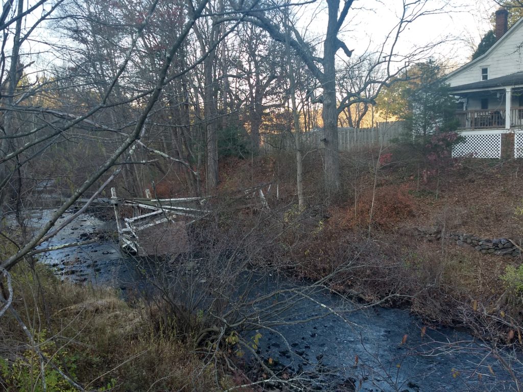
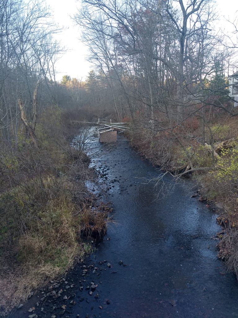
And another bit of history is gone.
-30-