Once upon an era, every town and village had a hardware store. In many instances, it was also the general store, post office, and community center where men would discuss the matters of the day.
Frank B. Whittle was born in England in 1860, and (presumably with his family) came to America in 1870. He lived in Sussex, where he had a position with the Lawrence Hardware Company. He met and married Harriet Beemer and had a daughter, Edith, in 1886.
Apparently an upstanding citizen, Whittle was at various times Butler’s Borough Clerk, Registrar, and chief of the fire department.
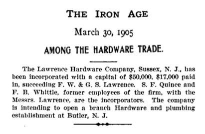
In 1905, the company incorporated, with S.F. Quince and Frank Whittle, “former employees of the firm”, as the incorporators.
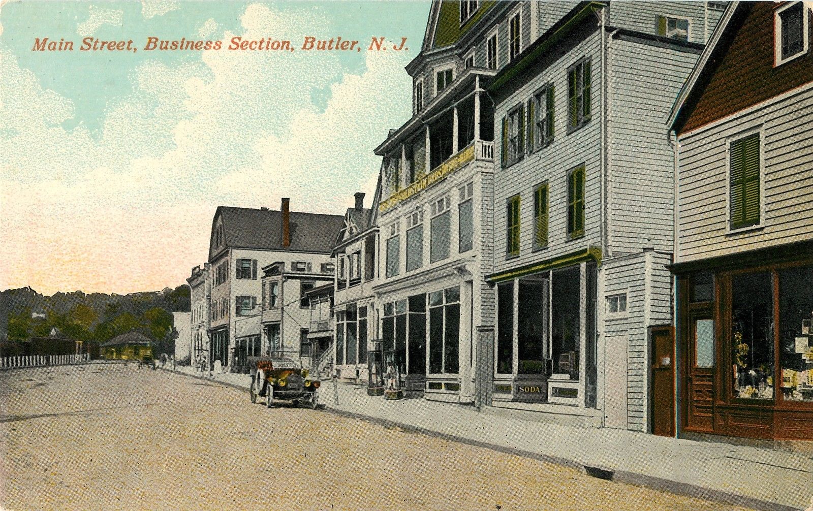
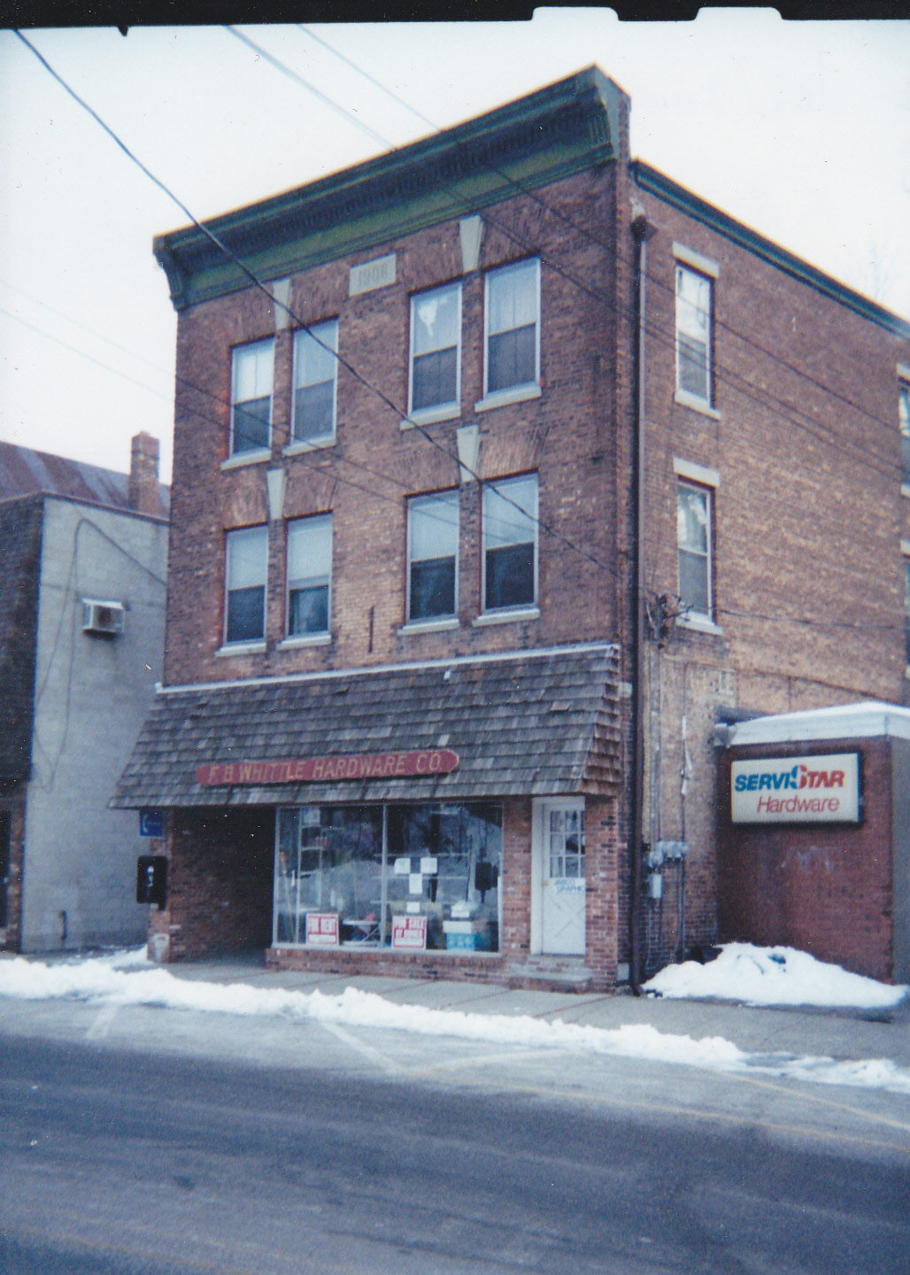
Frank and his family moved to Butler, where he opened the branch store downstairs from the Butler Opera House. A fire in December 1906 destroyed the Opera House and several nearby structures. He was fortunate that a sturdy three-story brick building had been recently finished at 208 Main Street. This became the new home of The Lawrence Hardware Company, which sold plumbing, hardware and heating supplies. He ran this store until 1915, when he moved to Pompton Lakes to open a branch store.
Still interested in local affairs, he was at some point elected mayor.
In 1921, he bought the store and ran it under his own name.

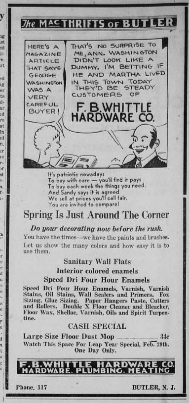
Whittle remained in Pompton Lakes until 1923 when he sold his business to Adam Jeckel and resigned as mayor. The following year, he moved to Butler and organized (and was president of) the F.B. Whittle Hardware Company. He purchased the Butler store, which operated under his name until the store closed in 2001.

Correspondence with Lamson & Goodnow, a Massachusetts cutlery company.