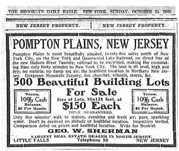
You might know that I like to browse old newspapers online. That’s where I found this lovely 1927 ad, placed by James Mooney, a real estate agent, for 130 building lots in a place called “Ramaquannock.” As a local historian, I’d never heard of this place. Let’s find it!
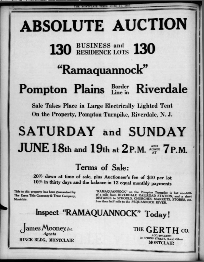
The first clue is the name itself, an odd-sounding combination of “Ramapo” and “Pequannock.” It wasn’t unusual for the sales agent to give a cute name to a tract of land.
As it happens, the Pequannock historical society has a large advertising sheet about this 1927 sale.
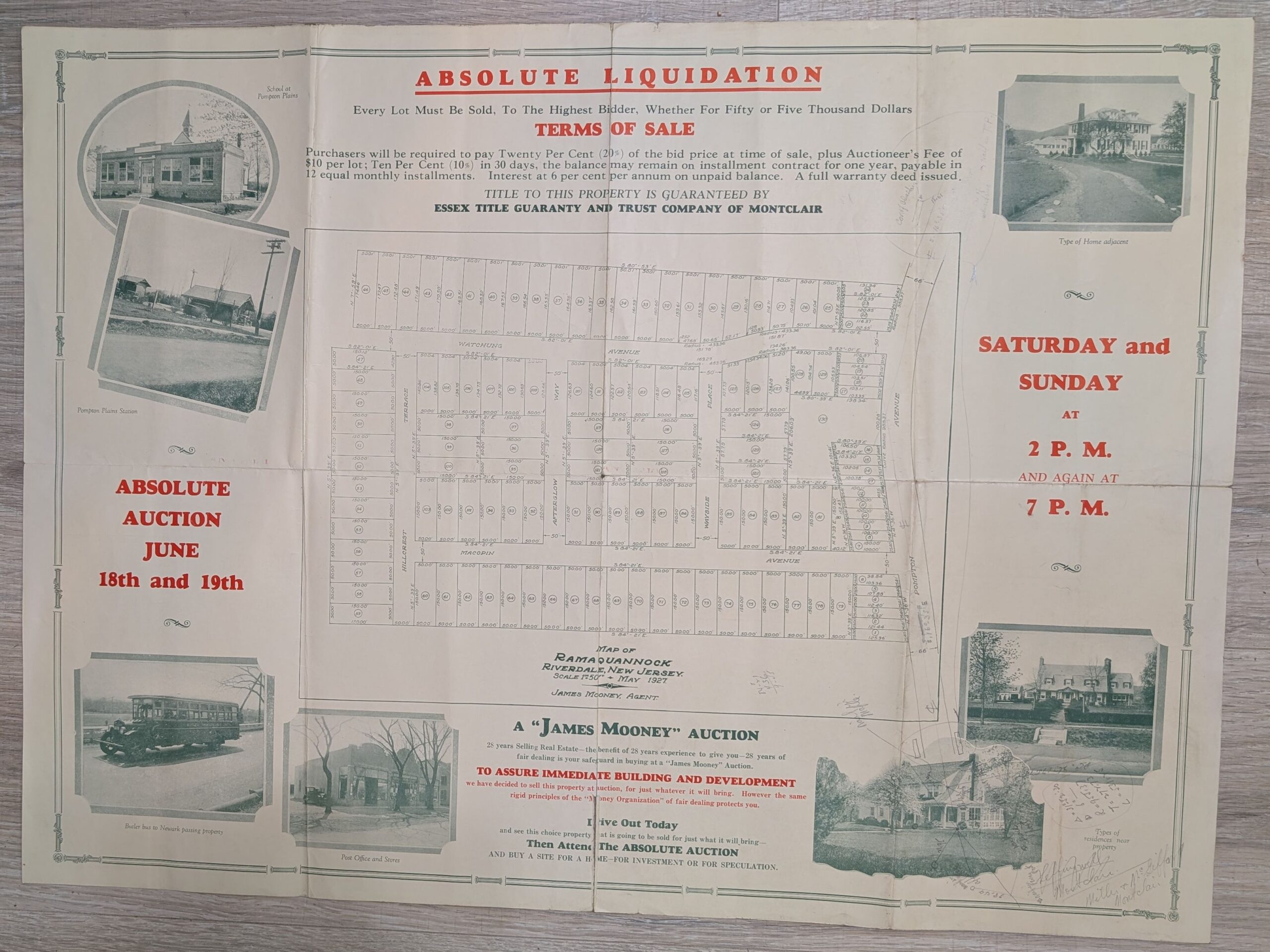
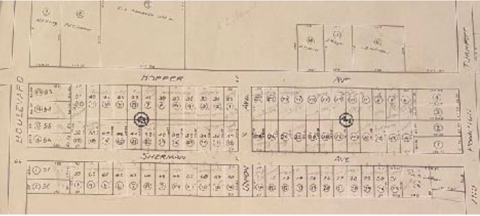
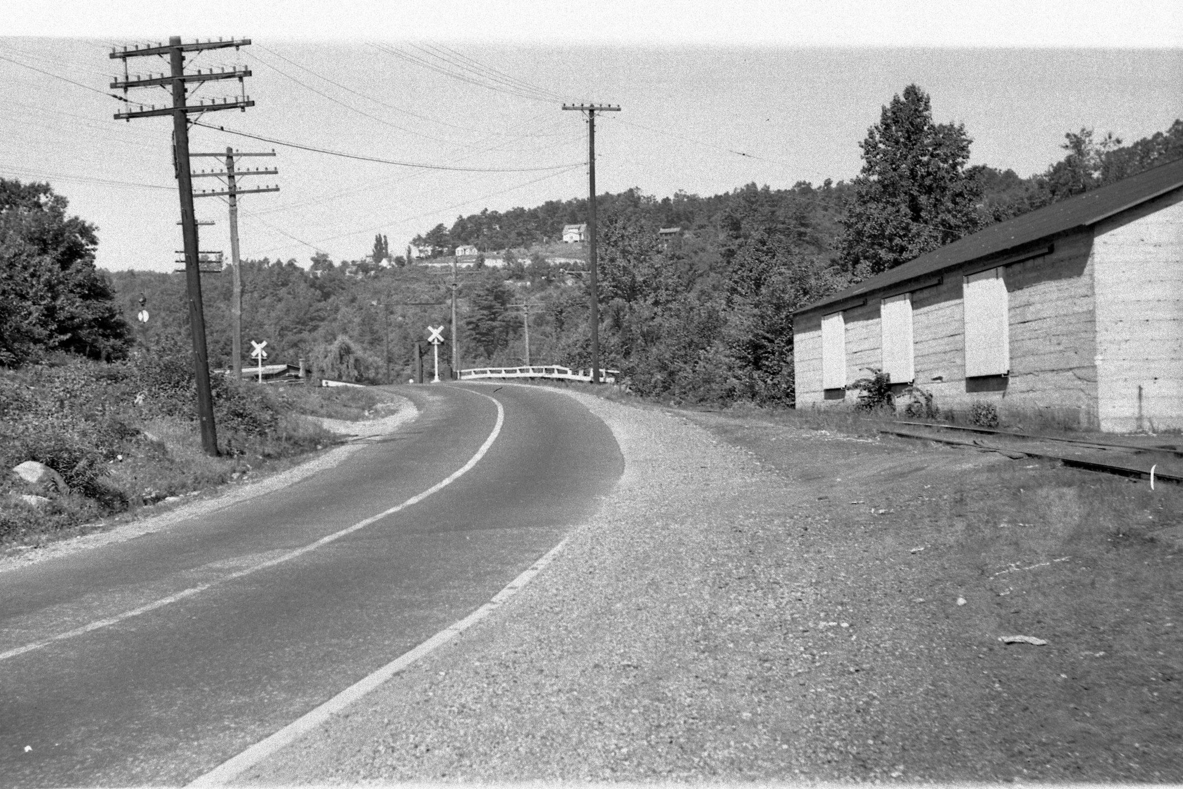
The ad says it’s on the “Pompton Plains border line in Riverdale.” That’s somewhat helpful. The map (click it to view full size) shows us that Ramaquannock is, in fact, that area behind the Route 23 Kia car dealer. The tract includes Windbeam Road (Watchung Ave on the map), along with Macopin Road, Wayside Place, and others.
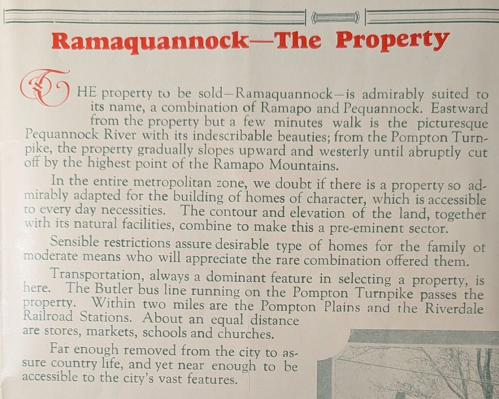
The ad assures us that “Ramaquannock” on the Pompton Turnpike is but one-fifth of a mile from Riverdale Railroad Station, and a short distance to schools, churches, markets, stores, etc. and “less than half mile to the Pequannock River.” Then again, it also claims that
“This valuable property located on Pompton Turnpike is only a short walk from two railroad stations, Pompton Plains and Riverdale. Excellent train service.”
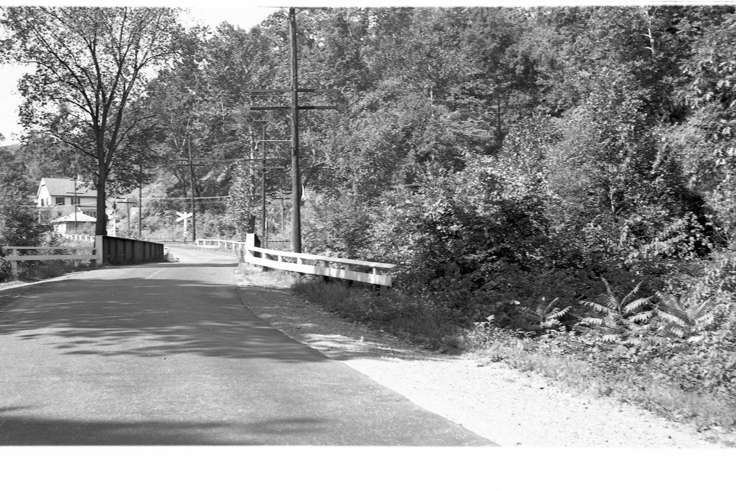
Well, sort of. Either station is, in fact, about two miles away. Maybe that qualified as a “short walk” a century ago, or perhaps it was a bit of exaggeration. “Pompton Avenue” was better known as the Newark-Pompton Turnpike. The new-and-improved Route 23, which would bypass Pompton Plains, was a few years in the future.
Mr. Mooney proudly notes that the auction would take place in a Large Electrically Lighted Tent! This was actually a big deal, as Riverdale had only been wired for lights a few years previous. Only the best for would-be buyers!
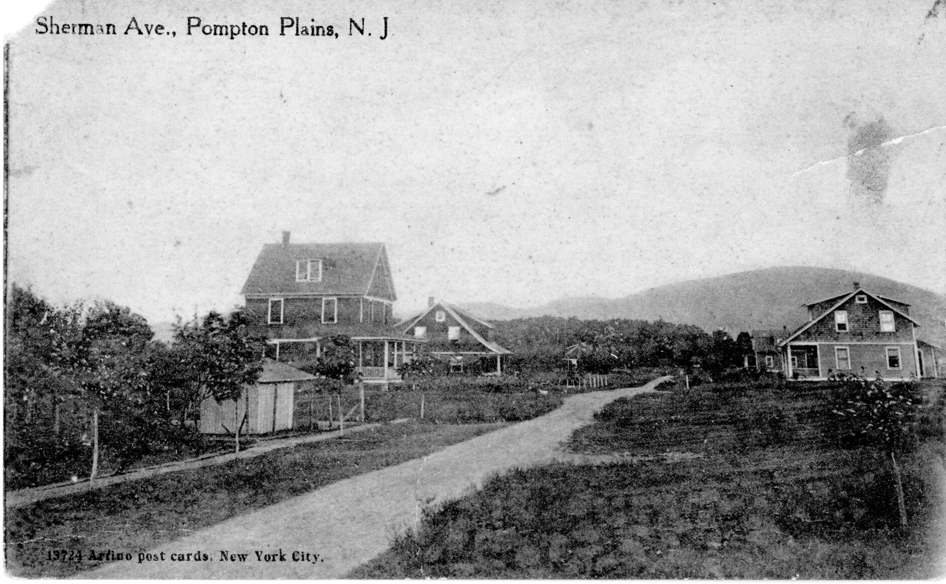
The flier is festooned with kind-of photos of nearby houses, the Pompton Plains station, “a church nearby”, and more.
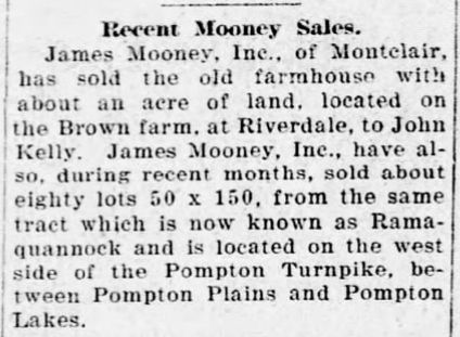
So how did the auction go? Mr. Mooney is quoted in March 28 as having sold 80 of the 130 available lots.
Final note: the map in the large flier notes “Watchung Ave”, but the residents successfully petitioned the Riverdale council to officially change it to Windbeam Road, after the (in)famous restaurant at the end of the road, in 1951.
-30-